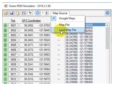
In this example, load the map into the Anritsu Simulator program. The Simulator Program operates from the same API software as AeroShield. For more information about the Simulator program, see
AeroShield Simulator Control. Click the Map Source button located in the Simulator program toolbar as shown in
Figure: Load Map File.

