Before an off-line map can be loaded into the AeroShield API software GUI, a map file must already exist. For more information on how to download an offline map file, see
Maps. When using the Simulator program GoogleMaps is used, the map window will be automatically populated.
From the toolbar, click
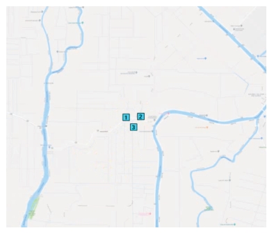
Load a Map. Locate and click a map file. The map file will appear in the AeroShield API software’s map display as shown in
Figure: Three RSM Probes Displayed. The RSMs previously entered will also appear. Note that the probes must be geo-positioned in a triangular pattern to perform TDOA and successfully detect an interferer signal.

